

Making and Interpreting Topographic Maps
SKU/Product Number
SB44071
In Stock
$122.95
Grades 6-12.
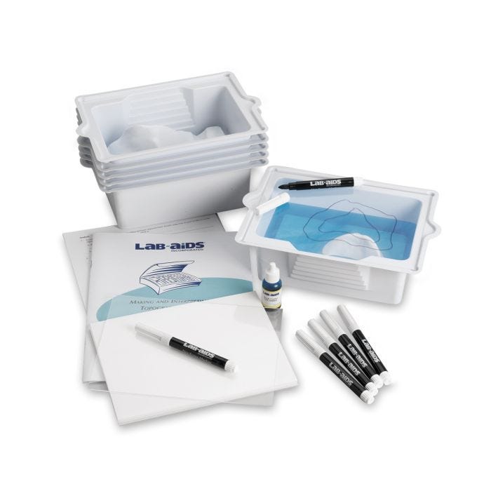
This activity provides students with a basic understanding of topographic maps and how to interpret them. Students conduct a hands-on investigation using the Lab-Aids Topographic Model to construct contour lines and create a topographic map of an area. The activity illustrates the relationship between the contour lines on a topographic map and the actual shape of the land. Designed for six groups of 4, or at most five, students.
WARNING: Choking Hazard. Small Parts. Not for children under 3 yrs.


| Brand | Lab Aids |
|---|---|
| Item Weight | 3 lbs |
| Length | 12.00 |
| Width | 9.50 |
| Height | 8.00 |
| Age | 11 yrs-18 yrs |
| Grade | 6-12 |
| Prop 65 |
|
| School Type | High School, Middle School |
| Subject Areas | Earth Science |

Write Your Own Review